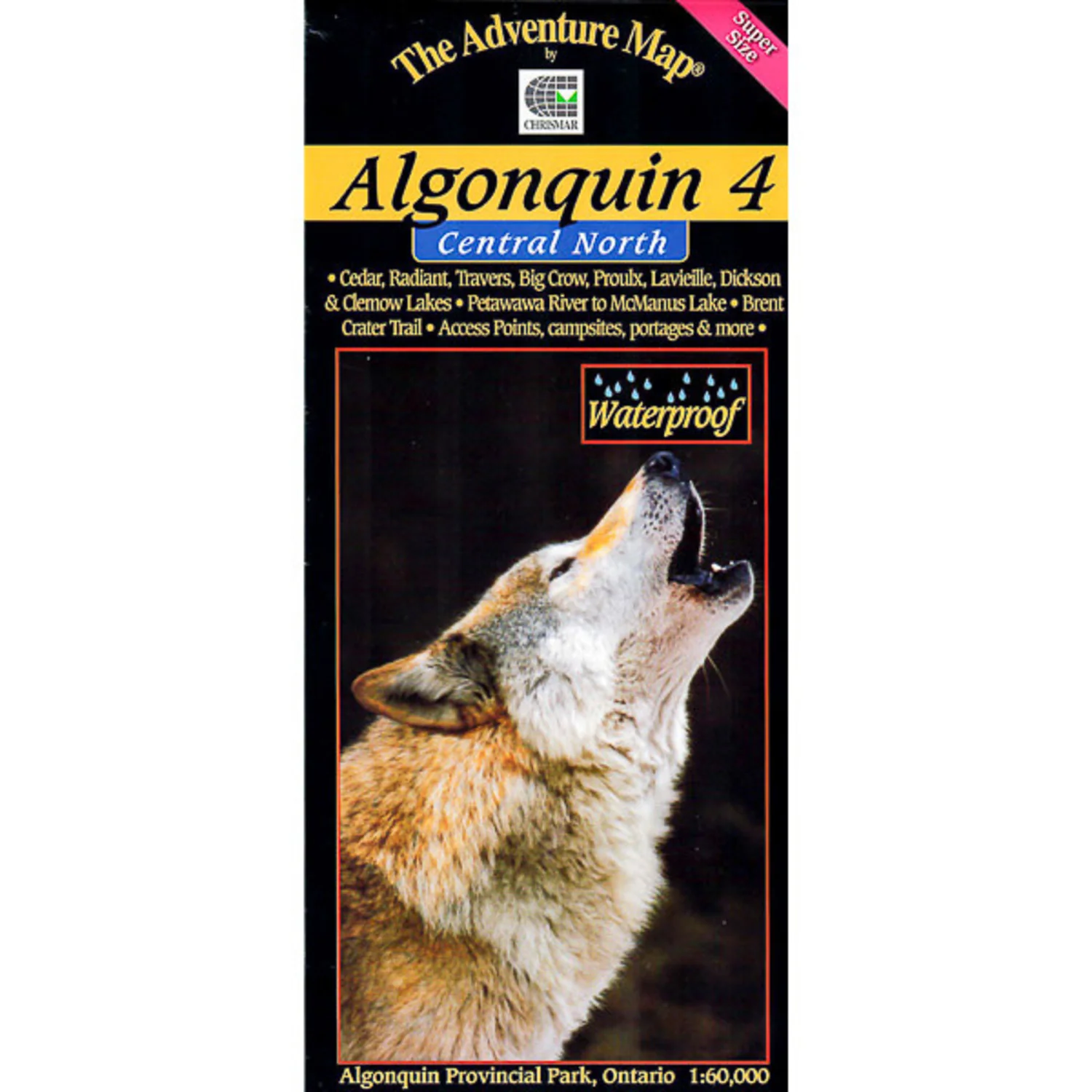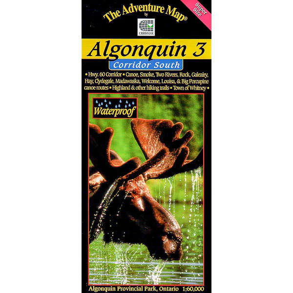
Algonquin 3 - Corridor South Map
This new version has been Super-Sized up to 1:60,000 scale, meaning features are larger and easier than ever to read. It is ideal for paddling the popular canoe routes south of the Highway 60 corridor. And we update it regularly, as usual.
In addition to extra-ordinary terrain and vegetation detail, this map features campsites, portages, access points, hiking trails, facilities like campgrounds, telephones, historic sites and many more attractions. Trails and portages have also been GPS'd over the past few years for greater accuracy than ever before.
The map covers the area from the Town of Whitney in the east to Kawagama Lake outside the park in the west and from Canoe and Opeongo lakes in the north to Hay and Madawaska Lakes in the south. Also shows Dividing Lake P.P. (home of towering old growth white pines) and overlaps with our popular Frost Centre and Algonquin 1-Corridor North maps. As usual it's waterproof too.
Original: $9.50
-70%$9.50
$2.85Product Information
Product Information
Shipping & Returns
Shipping & Returns
Description
This new version has been Super-Sized up to 1:60,000 scale, meaning features are larger and easier than ever to read. It is ideal for paddling the popular canoe routes south of the Highway 60 corridor. And we update it regularly, as usual.
In addition to extra-ordinary terrain and vegetation detail, this map features campsites, portages, access points, hiking trails, facilities like campgrounds, telephones, historic sites and many more attractions. Trails and portages have also been GPS'd over the past few years for greater accuracy than ever before.
The map covers the area from the Town of Whitney in the east to Kawagama Lake outside the park in the west and from Canoe and Opeongo lakes in the north to Hay and Madawaska Lakes in the south. Also shows Dividing Lake P.P. (home of towering old growth white pines) and overlaps with our popular Frost Centre and Algonquin 1-Corridor North maps. As usual it's waterproof too.